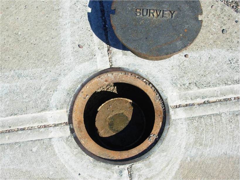
Survey Ground Control
 GPSi partners with local project team surveyors to ensure thorough understanding of your project control requirements. And we drive execution of ground control surveys on a project by project basis.
This involves setting the necessary ground control, including setting up coordinate systems that are tied to a horizontal and vertical datum. We then design custom control layouts reflecting both quantity and distribution of the control network.
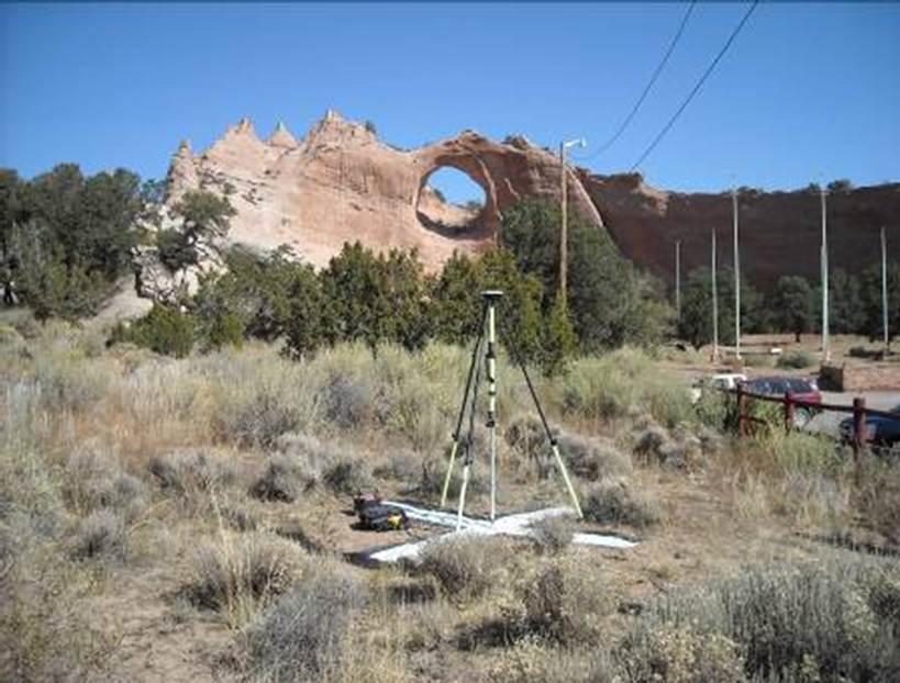
Typically, these control points/panels are painted white crosses, or prefabricated panels that are established prior to aerial flight so as to be identifiable on the aerial imagery. These points can also be acquired during the post-photography phase using photo identifiable features (PIDs) if necessary.