Photogrammetry
Project Management/Consulting Services
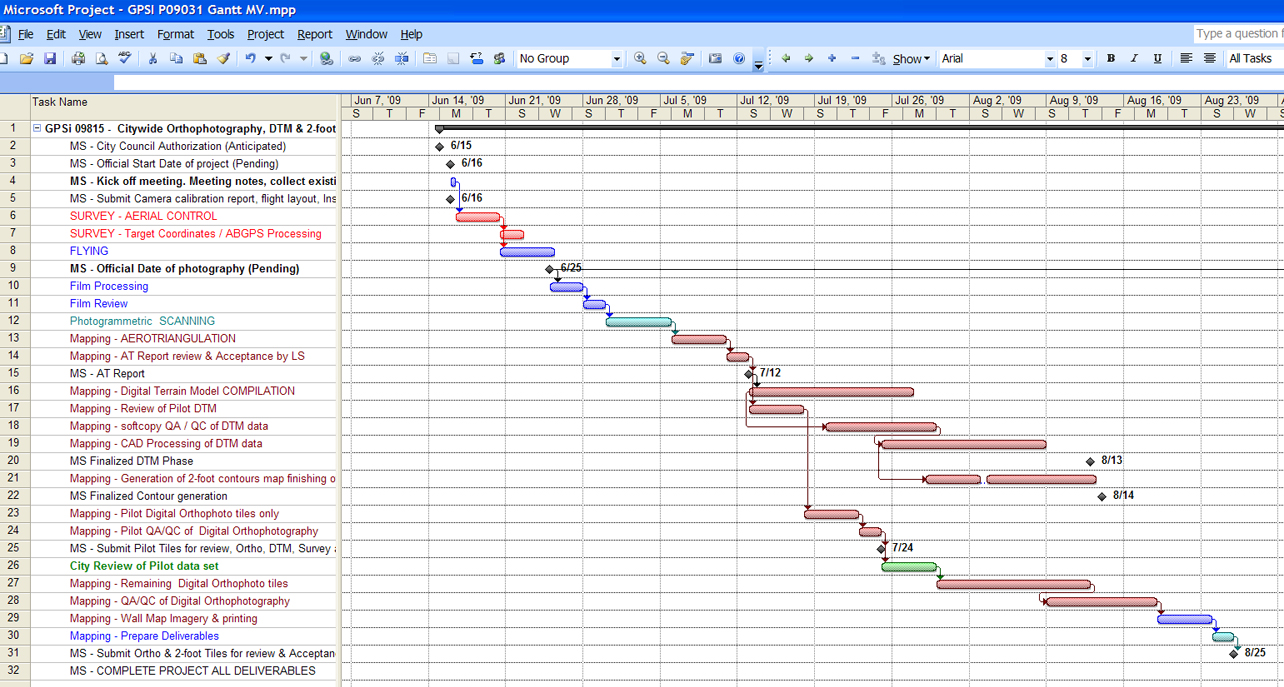
 GPSi offers an experienced team of professional Photogrammetric project engineers, a "Top Gun" photogrammetric academy representing the best of the best, to help you design your aerial survey and mapping projects. Our services encompass:
- Photogrammetric Project Design & Coordination
- Aerial Control Planning
- Flight Planning (Film or Digital)
- Photogrammetric Consulting Services
- Digital Orthophoto Consulting Services
- Expert Witness
