Photogrammetric Mapping
 GPSi utilizes next generation digital softcopy workstations, linked to high-speed stereo graphics, enabling us to take advantage of high resolution 3-D digital sensor imagery to perform precise measurements and data collection. These photogrammetric techniques enable us to capture planimetric features, topographic data, digital terrain models and contours that are customized to our clients' requirements.
Our sophisticated mapping software provides an unprecedented degree of control over the cartographic data that we can offer our clients. It also allows us to manipulate large quantities of information efficiently, formatting it precisely to client specifications, while running continual data integrity checks to ensure product quality.
Our Photogrammetric technicians collect Planimetric features directly into a CADD file that is compliant with client standards, technical requirements and/or our data delivery specifications. Typical map scales include, but are not limited to: 1”=20’, 1”=40’ 1”=50’, 1”=100’, 1"=200'. Our collection techniques ensure clean and seamless transition into a multitude of data formats and standards.
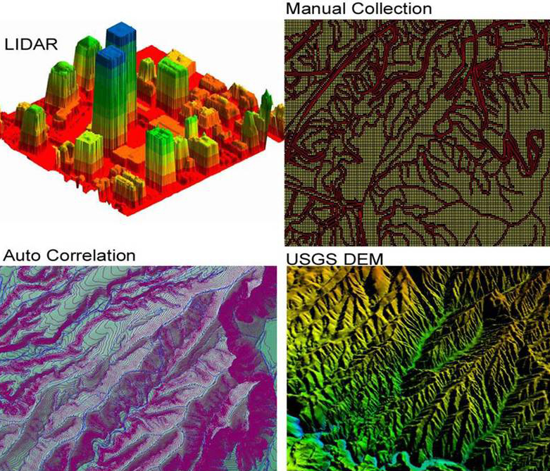
Digital Terrain Models (DTMs) are three dimensional computer models of the earth’s surface, created with both manual and automated point measurements, which generate a continuous Triangular Irregular Network (TIN) across the entire project. Typical contour intervals include: 0.5’, 1’, 2’, 4’, 5’, and 10’ depending upon the flying height of aerial imagery. TINs provide the capability to more accurately perform cross-sectioning, profiling, volume computation, slope analysis, hydrology, shaded 3D relief modeling, and other forms of analysis. DTMs are also used for image rectification during the digital orthophoto process.
GPSi can furnish planimetric, contour, and digital terrain model data that can be processed so that it is topologically structured, compliant, and ready for use in all popular CADD & GIS software systems.
Full 3D softcopy mapping enables us to isolate changes and update existing mapping or LiDAR data against the latest imagery while driving QA/QC procedures in a full 3D environment.
Our high flying solutions include:
- Digital Elevation Models (DEM)
- Digital Terrain Models (DTM)
- Planimetric & Topographic mapping
- Contours
- Update mapping/Change detection
- Site Development Topography for Landfills, pits, mines, quarries, stock piles
- Volume calculations
- Iso-settlement Maps
- Historical modeling / Geo-referencing
- Coastal mapping, erosion, high water
- Flood & drainage mapping
- Impervious surface extraction
- Erosion, landslides
- Obstruction
- Inventory
- Vegetation mapping