Lidar (Light Detection & Ranging)
 With the exciting purchase of RIEGL's LMS-Q780 full waveform airborne laser scanner, GPSi now offers full Lidar services including data aquisition, post-processing, filtering, and classification.
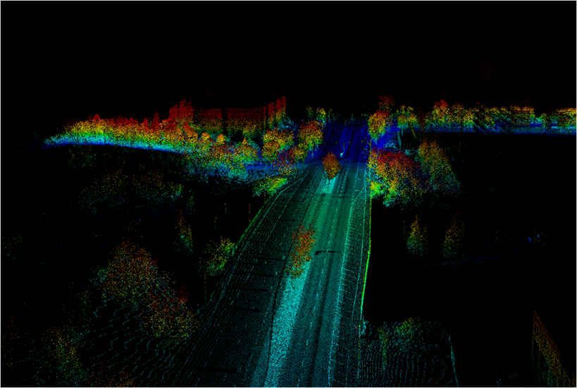
Light Detection and Ranging is an airborne-based sensing technology that provides geo-referenced, three dimensional point data of the earth’s surface. Lidar integrates three technological components: LASER ( Light Amplification by Simulated Emission of Radiation) , GPS (Global Positioning System) and IMU (Inertial Management Unit) into a single system.
Lidar offers the benefits of collecting vast amounts of elevation data within a short period of time, day or night and regardless of the sun's angle. It is complementary to (but not a replacement for) the traditional aerial mapping (photogrammetry) methodology.
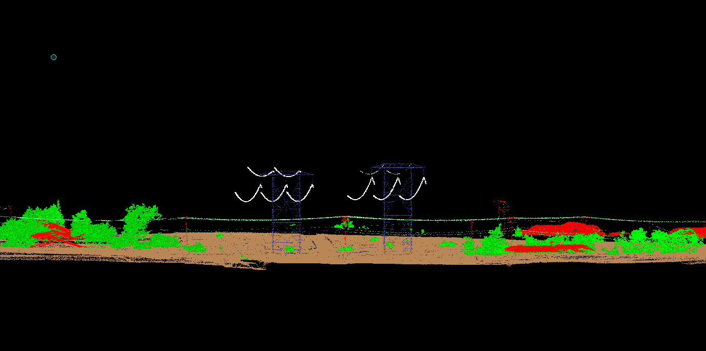
GPSi has a proven track record of using Lidar technology, in conjunction with photogrammetry, in various projects such as area drainage mapping, engineering construction, power line transmission and transportation corridor mapping, to name just a few.