Geographical Information Systems (GIS)
 Geographic Information Systems (GIS) integrate hardware, software and data for capturing, managing, analyzing and displaying all forms of geographically referenced information. GIS allows us to view, understand, question, interpret and visualize data in myriad ways that reveal relationships, patterns, and trends in the form of maps, globes, reports and charts. Like a sharp detective, a good GIS helps solve problems by revealing data that is quickly understood and easily shared.
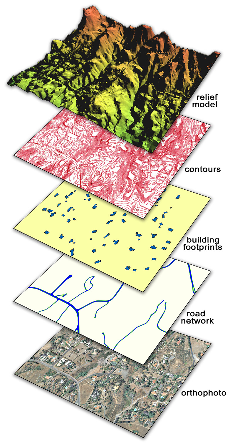
Feature attributes and other non-graphic data can be linked to the graphic features and provided as a part of GIS data sets. Graphic and non-graphic data for utilities and other underground features can also be converted from paper records (and a variety of other sources) and integrated into our photogrammetrically compiled data sets.
A good portion of GPSi’s geospatial datasets will end up in a GIS at some time or another. A number of our clients are from Information Technology (IT) or GIS departments that are responsible for making our geospatial information public across Web-based applications to maximize functionality and usage. Spatial data can be overlaid with other information to provide a fusion of information enabling further analysis and reporting.
We also offer:
- Arc TINs
- ArcGIS coverages, Geodatabase, .SHP files
- Data conversions