CADD & Final Map Finishing
 Our mapping data is carefully reviewed by cartographic professionals for correctness, completeness, and aesthetic quality. QC checks are performed in stereoscopic 3D with digital aerial imagery in the background, and the planimetric/DTM/contour data superimposed, making any missing or incorrectly digitized features readily apparent.
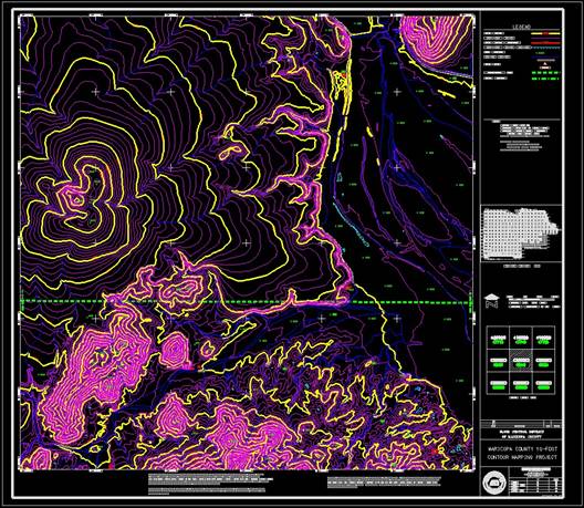
A series of map finishing processes will produce the project sheets/segments/blocks, and add the necessary street names, borders, grids, coordinates, legend, sheet index and other graphics and annotation information.
The files are checked for full compliance with the appropriate standard mapping specifications on the graphics and database levels. Data is formatted for the project map scale and contour intervals requested.
The completed files typically include: AutoCAD, MicroStation, InRoads, Civil 3D, ASCII & ESRI format data files are written to CD/DVD/Portable Drive/FTP for delivery.
- DGN/DWG/DXF/DTM/SHP/TIN/PDF/ESRI
- Map finishing
- Data Unit conversions such as English to Metric or vice versa
- File format Data translations/Conversions
- Various hardcopy plots/printing products