Airborne Global Positioning Systems (AGPS)
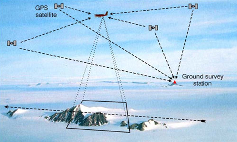
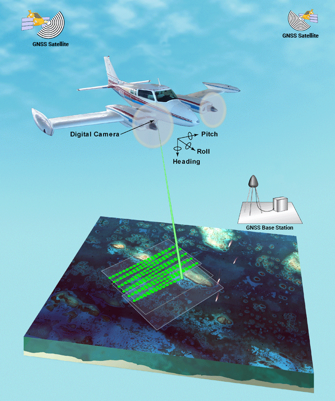 GPSi offers airborne GPS services that allow us to establish photogrammetric control from the air as mapping photography is acquired. We do this by recording a GPS coordinate for the precise geometric center of the aerial photograph at the instant the camera shutter is triggered. AGPS is appropriate for large mapping projects having positional accuracy requirements for 2’, 4’ or 5’…contours, and can offer significant cost savings due to decreased field survey ground control.