Aerial Imagery
 GPSi provides precision flight mission planning, flying and acquisition of aerial imagery to engineering firms, municipalities, government agencies, architects, surveyors and planners for both government and private sectors.
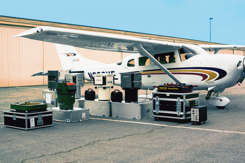
Our aerial photography is acquired primarily using precision Digital Aerial Mapping Cameras or the traditional film-based aerial mapping cameras (such as the Leica Geosystems RC-30 or Zeiss RMK Top 15) which are equipped with forward image-motion compensation (FMC), GPS triggering and control capability, and distortion-free lens systems. We offer a full digital workflow option, from 3D flight planning all the way through to final delivery, eliminating film processing and scanning completely; in fact, this allows us to start working with aerial imagery that's hot off the runway.
GPSi is proud to be the first mapping company in North America to offer the UltraCam Falcon prime (PDF specs), a digital aerial mapping camera tailored for high accuracy, design grade engineering mapping. With features like 196 megapixel image format, a 1:2.2 pan sharpen ratio that collects PAN, RGB and NIR in parallel, and forward motion compensation by TDI, this camera delivers the same technical capabilities of larger models. The ability to deliver true-color and color-infrared (CIR) image quality with unmatched radiometric range, makes it ideal for our smaller large-scale and photogrammetric projects, high-resolution orthophoto production, precision photogrammetry, corridor mapping, and LiDAR integration. In addition to the digital camera, we utilize industrial strength software, state-of-the-art multi-terabyte data servers utilizing 48 hyper threaded CPUs for distributed image processing with automated load balancing. We also offer:
- Digital Aerial Photography [PAN, RGB, CIR, 4-Band]
- Film Aerial Photography [PAN, RGB, CIR]
- Airborne GPS Controlled Imagery
- Color Infrared Photography
- Aerial Mosaics
- Oblique Aerial Photography
- Compression/conversion of existing imagery
- Hardcopy contact prints with or without an accompanying Photo Index
- Printing and mounting services