Geospatial Professional Solutions, Inc. — aerial survey & mapping services provider located in Costa Mesa, CA, features:
  • Geospatial solutions that encompass aerial photography
  • UltraCam Falcon prime digital aerial mapping camera (PDF specs)
  • Photogrammetry
  • Full Lidar services RIEGL® LMS-Q780 (PDF data sheet)
  • Remote sensing and geographic information systems
  • Certified small woman-owned minority (WMBE) business
  • Leadership team with a 30-year legacy of success in meeting and exceeding clients’ mission-critical needs
  • Rigorous mapping, CADD, GIS and orthophoto standards and specifications
  • High client retention rate along with a legion of satisfied customers

30-year Legacy of Success

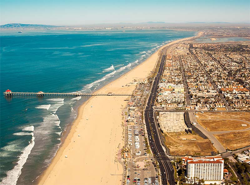
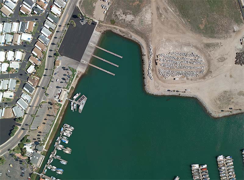
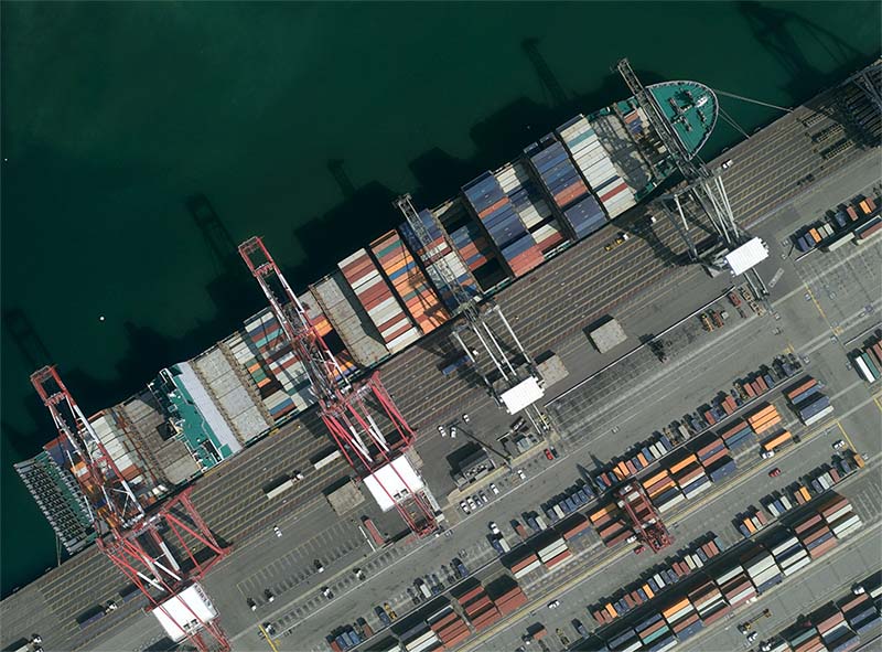
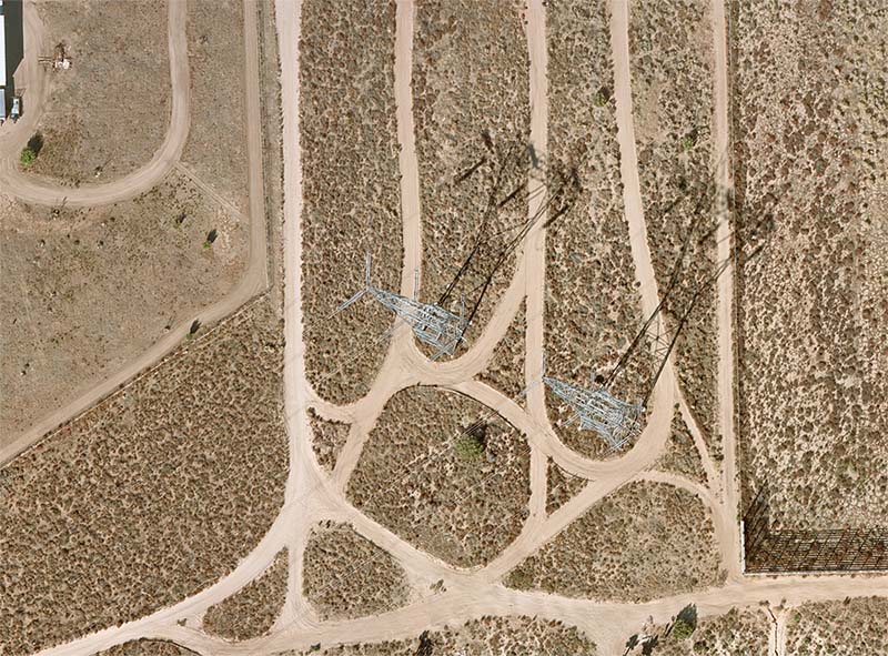
GPSi provides precision aerial survey and mapping for engineering firms, municipalities, government agencies, Civil Engineers, Architects, Surveyors & Planners for both government & private sectors. The following shows industry sectors we are servicing, but not limited to the list below:

Transportation - Airports, Highways/DOT, Railroads, Bridges, MetroLink, Public Transportation, Ports and Harbors

Utilities - Electric, Sanitation, Water

Facilities - Schools/Colleges, Hospitals, Shopping Malls, Treatment Plants, Refineries, Power Plants

Municipalities - Cities, Counties, Local Government/Agencies, Public Works, Fire Authority, Police Departments, Water Districts, Flood Control, Golf Courses, Libraries

Land Development/Environmental - Landfills/Mines/Quarries/Pits, Endangered Species, Disaster Preparedness, Coastal Management, Agriculture, Land Use Planning/Vegetation Management
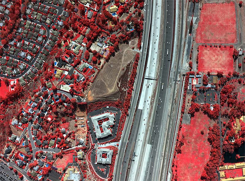
Pixel Comparison Tool

pixel comparison tool

Discover the variety of pixel size options you can utilize…play around with this tool and figure out your best fit.

Project Ordering Tool

project ordering tool

Custom build your project step by step…simply select your project criteria and leave the rest to us.